
Walk a Bainbridge Island Street
A useful street search begins with the address, not a guessed resident name. Kitsap County and Bainbridge Island keep separate systems, and each one describes a different relationship to the place. The sequence below builds an address record while keeping those roles apart.
- Confirm the mailing form with the USPS ZIP Code Lookup. Keep every directional and unit number shown.
- Search the Kitsap County Assessor Parcel Details by site address. Save the parcel number, taxpayer, site address, mailing address, and short legal description.
- Open Kitsap County GIS to identify the parcel and nearby tax accounts. Treat mapped lines as approximate.
- Use the parcel number in the Kitsap Auditor EagleWeb index. Read the deed itself before stating who held title.
- Check City permits by address, then use dated directories or archives when the question concerns an earlier household.
This chain can show a tax contact, a recorded party, or a historical name. It cannot prove that every person named lived at the site. Record the search date and source role beside each result.
Bainbridge Island Parcel Search
The assessor is the practical first stop for a Bainbridge Island by-address search because the site address links a road label to a stable tax account. County instructions say to choose Site Address, enter the house number and street name, and omit extra direction or suffix text where the form directs. New construction, vacant land, misspellings, multiple addresses, and update delays can all cause a miss.
| Search field | Use | Format or caution |
|---|---|---|
| Site address | Find a physical parcel by address | Begin with house number and street name |
| Parcel or account | Reopen an exact tax record | Best bridge to deeds and maps |
| Taxpayer name | Find tax records tied to a name | Not proof of legal ownership or occupancy |
A parcel card may show taxpayer, mailing and site addresses, value history, improvements, sales clues, and an abbreviated legal description. The county explicitly directs legal ownership questions to the Auditor. That warning matters whenever a street-by-street list is made.
The Assessor ownership guidance explains the distinction between taxpayer and owner. A mailing address may be only the place where a tax notice goes.
See the source interface captured for this research at Kitsap Parcel Details.
The capture shows the official county search surface that turns a street address into a parcel research key.
Bainbridge Island Street Record Layers
No single public file is a complete directory by street. The most reliable method compares address-keyed sets and preserves the date and role supplied by each custodian.
| Address record | Custodian | Street evidence | Access route |
|---|---|---|---|
| Parcel and tax card | Kitsap Assessor | Taxpayer, site and mailing address, parcel, values | Free parcel portal and weekly public downloads |
| Parcel map | Kitsap and City GIS | Parcel location, nearby accounts, service and zoning layers | Public viewers and map gallery |
| Recorded instruments | Kitsap Auditor | Parties, document type, date, parcel, legal description | EagleWeb from January 1987; copy request by mail or office |
| Address history | Kitsap DCD | Prior and current address, date, jurisdiction, tax account | Published PDF and agency records route |
| Permits | City of Bainbridge Island | Permit number, address, name, type and status clues | Guest portal; full files through public-record request |
| Historical directories | State Library, KRL, Museum, Archives | Dated names and printed address forms | Appointment, branch, archive, or collection access |
The parcel number is the strongest cross-reference. It can survive a road rename and connect assessor, deed, survey, plat, and address-history material. A name alone is much easier to confuse.
County records also offer two fallbacks when the live parcel card does not answer the question. Most parcel, value-history, tax-description, building, and sales information is public, and the Assessor lists weekly downloadable files for parcels, dwellings, property addresses, valuations, plats, and related categories. Those files change over time, so save the file name, source date, and field definitions used. The Assessor does not make a custom report to join those rows for a researcher. Confidential income, personal-property, and protected assessment categories remain outside the public set.
A street-wide result should therefore keep one row per source role. Put the site address beside the parcel account, but store the taxpayer mailing address in its own field. List an Auditor party only with the instrument date and number. This prevents a tax contact or old deed party from being presented as a current person at the address.
Bainbridge Island Address Grid
Bainbridge Island uses Madison Avenue as its north-south baseline. Grid numbers rise east and west, while the final two house-number digits represent positions within the grid. The City address application says consecutive numbers are about 22 feet apart. Odd numbers fall on south or west sides, while even numbers fall on north or east sides.
This convention is a search aid, not identity proof. Preserve NE, NW, SE, SW, N, S, E, or W because a directional can distinguish one street record from another. Confirm the final form through USPS and Parcel Details before following it into other records.
- Parcel
- A mapped unit of land assigned a tax account.
- Situs address
- The physical site address, which can differ from the taxpayer mailing address.
- Plat
- A recorded map dividing land into lots, blocks, roads, or easements.
- Criss-cross directory
- A directory arranged by street or address instead of only by surname.
Road Names Shift on Bainbridge Island
Old and current road labels are a central island issue. The Kitsap address-history report stores a date, previous address, current address, jurisdiction, and tax account. Its visible Bainbridge rows include 424 Winslow Way E becoming 440 Winslow Way E and 274 Parfitt Way SW becoming 274 Wood Avenue SW in 1997. Another 1997 row links 7365 NE New Brooklyn Road to 7981 NE Walden Lane NE.
Those rows are search pivots only. They do not prove that the same person occupied both forms. Use the shared tax account or parcel, then test the link in deeds, permits, and dated volumes. Also consult the county road-name-change map when a directory entry uses Fletcher Bay Road, High School Road, Day Road, Point White Drive, or another older island form.
Note: Keep both address forms, the change date, and the tax account in every Bainbridge Island address research log.
Map Bainbridge Island Streets Carefully
County GIS helps browse parcels in sequence and find adjacent tax accounts when a typed address fails. The Bainbridge Island GIS map gallery adds city themes such as zoning, land use, roads, watersheds, and water or sewer context. These layers explain which public office may keep the next record.
Tax maps and GIS lines are not surveys. Kitsap County says map dimensions are estimates, and parcel geometry can change after plats, combinations, or segregations. Use an Auditor survey or plat when an exact boundary matters. The map supports a by-address search, but it cannot name every person at a site.
Map layers can still solve a hard search. Start from a known parcel, inspect the tax accounts that touch the same road, and compare the road label against City zoning, land-use, watershed, road-end, and water or sewer themes. A service-area label helps identify the right agency, yet it does not show whether a specific parcel is connected or who receives service. The City parcel service reviewed for the research supports query and identify functions, but its metadata reported an April 2022 parcel update. Record the layer date before treating the map as current.
The official Kitsap GIS page is shown in the research capture.
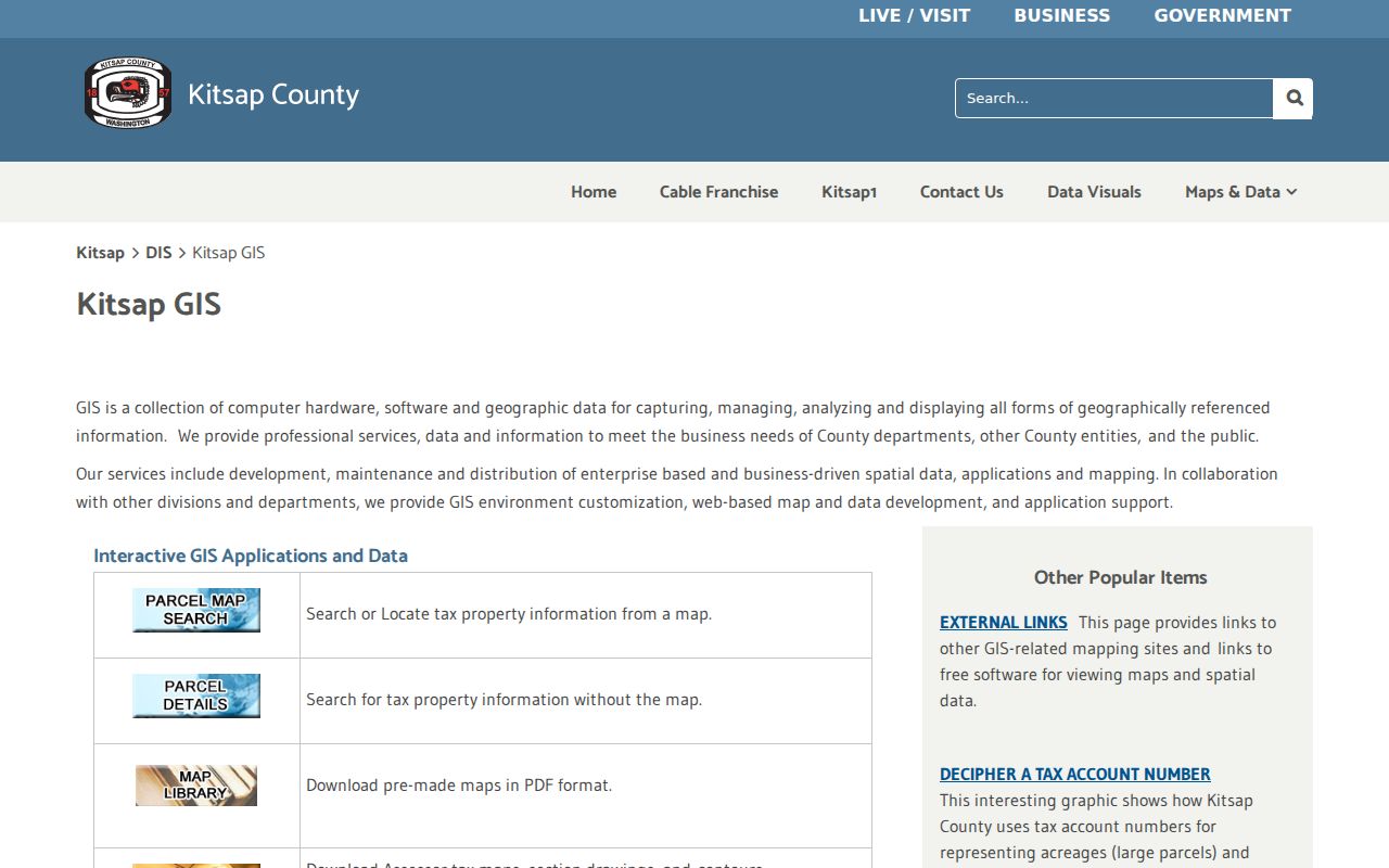
The captured county page leads to parcel and map tools, while keeping their boundary limits clear.
Bainbridge Island Deeds by Parcel
EagleWeb turns the parcel key into a recorded-instrument trail. Its search modes include Name, Date, Tax Parcel Number, Property Description, and Document Type. Enter a 14-digit parcel without dashes. A property-description search can use plat, lot and block, or section-township-range terms when the road label has changed.
The online index states coverage from January 1987 forward and calls itself a work in progress. For older material, or when an image is not enough, contact Kitsap County Auditor Recording and Licensing. The official copy form supports record numbers, grantor and grantee names, years to search, map or plat references, and certified or non-certified choices. Mail and in-person access remain important parts of the by-address process.
Run name and parcel searches separately. EagleWeb instructs name searchers to enter the last name first without a comma, and some spacing variants must be removed. Narrow Document Type when looking for a deed, covenant, easement, right-of-way, lien, release, declaration, survey, or plat. An index hit is only a pointer. Inspect the instrument to see whether the party is a grantor, grantee, trustee, beneficiary, or another role, and use the recorded legal description to confirm that it concerns the same Bainbridge Island parcel.
View the Auditor recorder index before using its search fields.
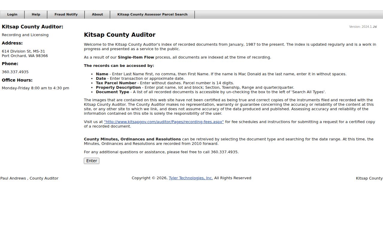
The portal capture shows the official index used to connect parcel numbers with recorded parties and document types.
Bainbridge Island Permits by Address
The City public permit portal accepts permit number, address, or name. Guest access can reveal building, planning, or tree-related application clues, including status and review steps where the live record exposes them. A permit name is an applicant or associated party, not proof of residence.
Full plans, inspection notes, correspondence, and complaint records may require the City public-record request route. Requests can go through NextRequest, in person, mail, phone, or email. Give the address, parcel or permit number, department, date range, record type, and desired format. Washington law calls for an initial response within five business days, though production can take longer.
The Bainbridge public permit portal appears in this research capture.
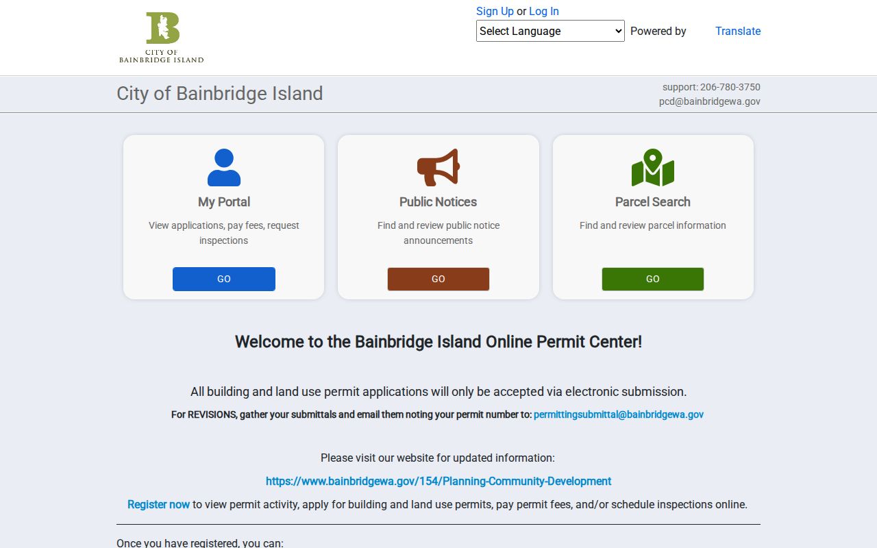
The capture identifies the city system used when a parcel search needs permit and development context.
Historic Bainbridge Island Street Clues
Modern parcel tools stop short of the island's deeper address history. The City Historic Property Research Guidance points to the 1909 Anderson owner map, selected 1929 Sanborn sheets, 1937 and later USGS maps, a 1940 county atlas, historical assessor material, aerial photographs, and WISAARD. Each dates a different feature and has different coverage.
The island-wide municipal change in 1991 adds another search problem. Earlier files may be cataloged under City of Winslow or Kitsap County even when the present address lies within the City of Bainbridge Island. Port Blakely, Port Madison, Island Center, Yeomalt, Eagledale, Creosote, Rolling Bay, and Seabold can also work as archive or map terms. Keep each label tied to its source date and type. A historical community name is not automatically a current neighborhood or postal boundary.
Sanborn coverage is selected, not island-wide. A missing building is unresolved rather than proof that it did not exist. The Anderson map is also map evidence, not a deed. Compare its owner label with the legal description and recorded instruments. The Bainbridge History Museum Resource Library holds local books, print archives, public-record copies, and an online collection database by appointment.
For full printed holdings and how entries read, use the Bainbridge Island city directory collections. That historical shelf complements the modern street chain without replacing it.
Bainbridge Island Street Directory Limits
A taxpayer, deed party, permit applicant, voter, and directory name are different record roles. None automatically identifies every current occupant. The assessor keeps confidential categories out of public data. VoteWA requires identity matching and is not a free-form resident search. Public voter extracts have statutory field and purpose limits, while Washington's Address Confidentiality Program can substitute a mailing address for eligible participants.
Utility service-area maps show broad geography, not customer lists. DMV personal data is closed to general person searches. Complaints can be public records, but an allegation is not a violation finding. State each limit plainly and avoid merging two names merely because they resemble one another.
Lawful use. Use Bainbridge Island address records for lawful personal research, and never to stalk, harass, threaten, or expose a protected person.
A sound street directory gives the custodian, date, record role, and confidence level. When the sources disagree, leave the match unresolved and request the underlying record.